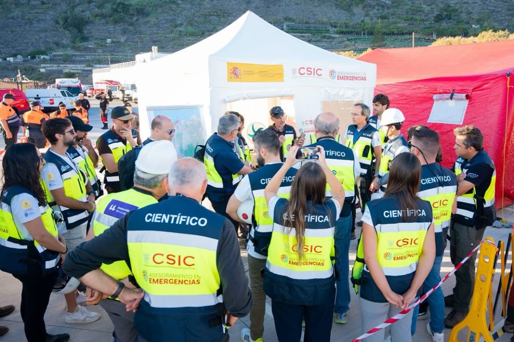
As part of its mission to validate High-Performance Computing (HPC) technologies for natural hazard management, the ChEESE Centre of Excellence is taking part in large-scale crisis simulations across the world. After joining the national drill in Mexico on September 19, the project has now contributed to Spain’s first full-scale volcanic eruption exercise, held in Garachico, Tenerife, on 26 September 2025.
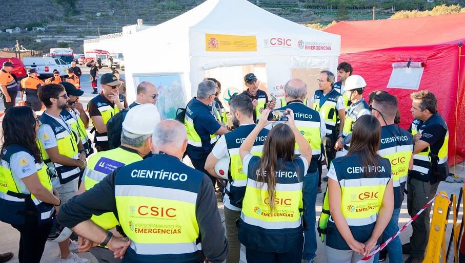
The drill, coordinated under the European Civil Protection Mechanism, gathered over a thousand responders, scientists, and volunteers to test evacuation procedures, infrastructure resilience, inter-agency coordination, and public alert systems. Garachico’s historical legacy, having been destroyed by a volcanic eruption in 1706, made it a symbolic and strategically chosen location.
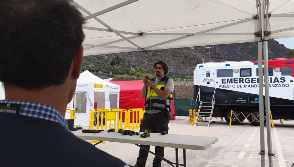
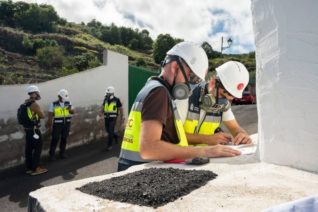
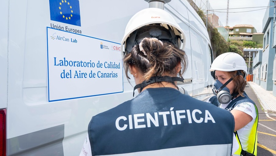
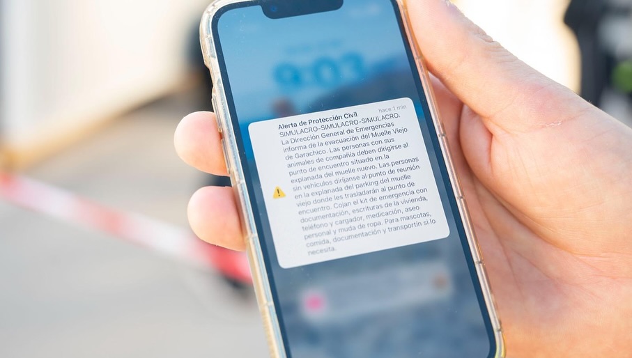
During the simulation, the old town was evacuated, and emergency services responded to concurrent incidents such as traffic disruptions, rescue operations, and the transport of animals. Drones, gas sensors, and the ES-Alert system were deployed to monitor conditions and inform the population in real time.
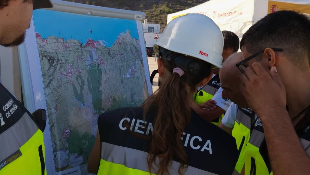
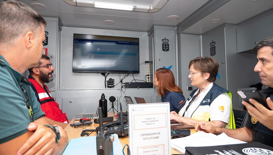
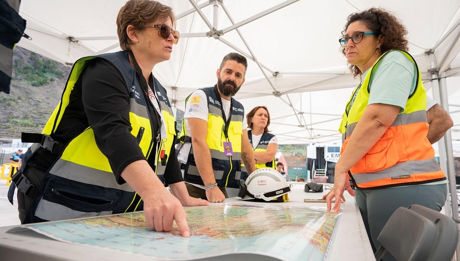
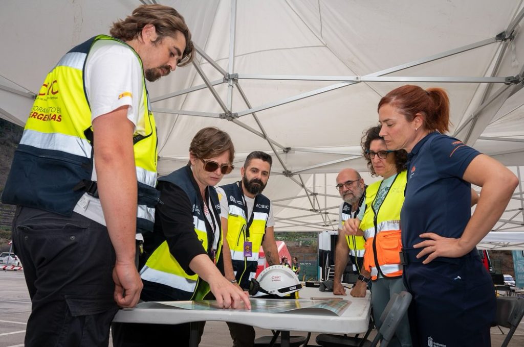
Representing ChEESE, scientists from the CSIC Disaster and Emergency Advisory Group (GADE) provided advanced atmospheric hazard forecasts. Their task was to predict ash dispersion and deposition, key parameters for aviation safety and impact assessment.
From alert to forecast in just 30 minutes
As the simulated crisis unfolded, the ChEESE team received three VONA (Volcano Observatory Notice for Aviation) alerts issued by the Spanish National Geographic Institute (IGN). These concise aviation notices describe volcanic unrest or eruptive activity that could pose a hazard to air traffic.
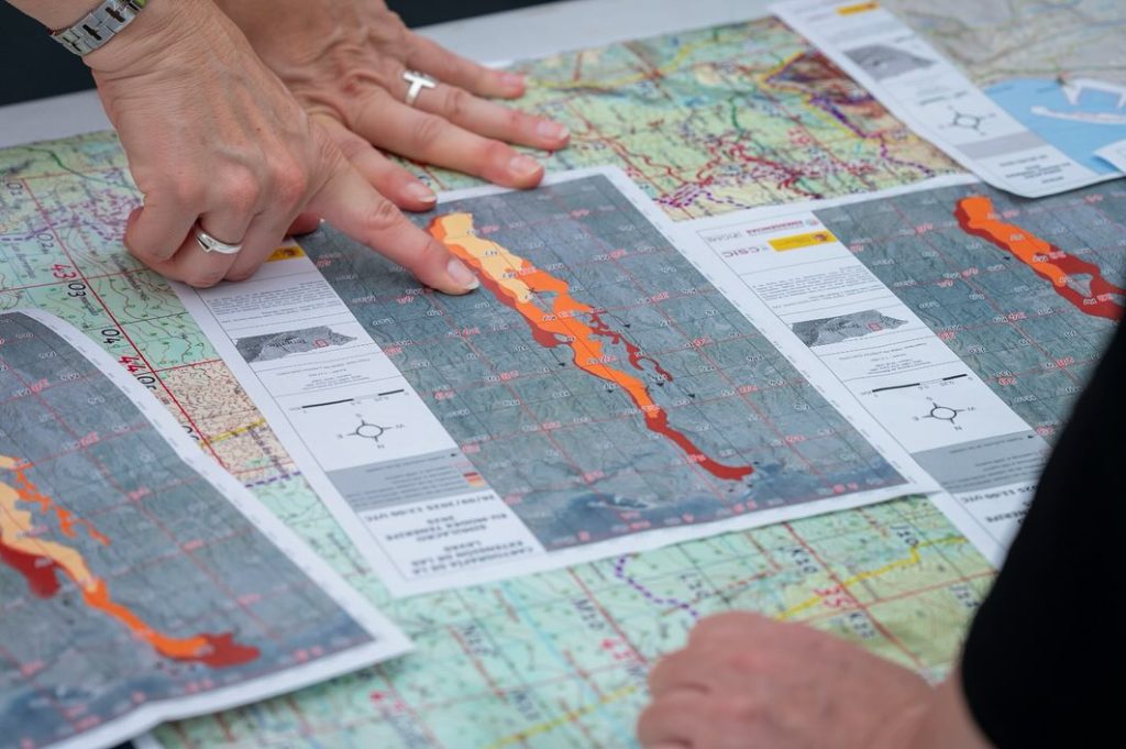
Using the information contained in these alerts, ChEESE scientists configured and ran the FALL3D version 9.1, a high-performance simulation tool developed within the project, to forecast volcanic ash dispersion and fallout over a 24-hour period. The model was executed in two computational domains (one local, focused on Tenerife, and one regional covering the entire Canary Islands) to simulate both ground deposition and atmospheric concentration of ash at different flight levels.
Each forecast, including maps and georeferenced data, was delivered within 30 minutes after the corresponding alert and shared with experts from the Geological and Mining Institute of Spain (IGME-CSIC) for analysis through GIS tools. Meteorological inputs were provided by the Global Forecast System (GFS) and AEMET’s AROME-HARMONIE model.
First VONA: increased seismic activity, imminent eruption (orange alert).
Second VONA: explosive eruption with an 8 km ash plume (red alert). First forecast generated.
Third VONA: eruption ongoing, ash column lowered to 6 km. Forecast updated.
A Volcano Observatory Notice for Aviation (VONA) is an alert issued by volcano observatories to inform aviation authorities about changes in volcanic activity that could affect air traffic. Each VONA provides a concise update on eruption status, ash plume height, and alert colour (green, yellow, orange, or red).
For the exercise, the simulations were run in two computational domains: a local one focused on Tenerife and a regional one covering the Canary Islands. This approach allowed the team to capture both nearby ash fallout and the wider atmospheric dispersion of the volcanic plume.
The forecasts covered a 24-hour period and produced hourly maps. These products included:
- Ash deposition maps, showing the expected thickness (in millimetres) and load (in kilograms per square metre) of the fallen material.
- Ash concentration maps, showing the amount of ash in the air at different flight levels.
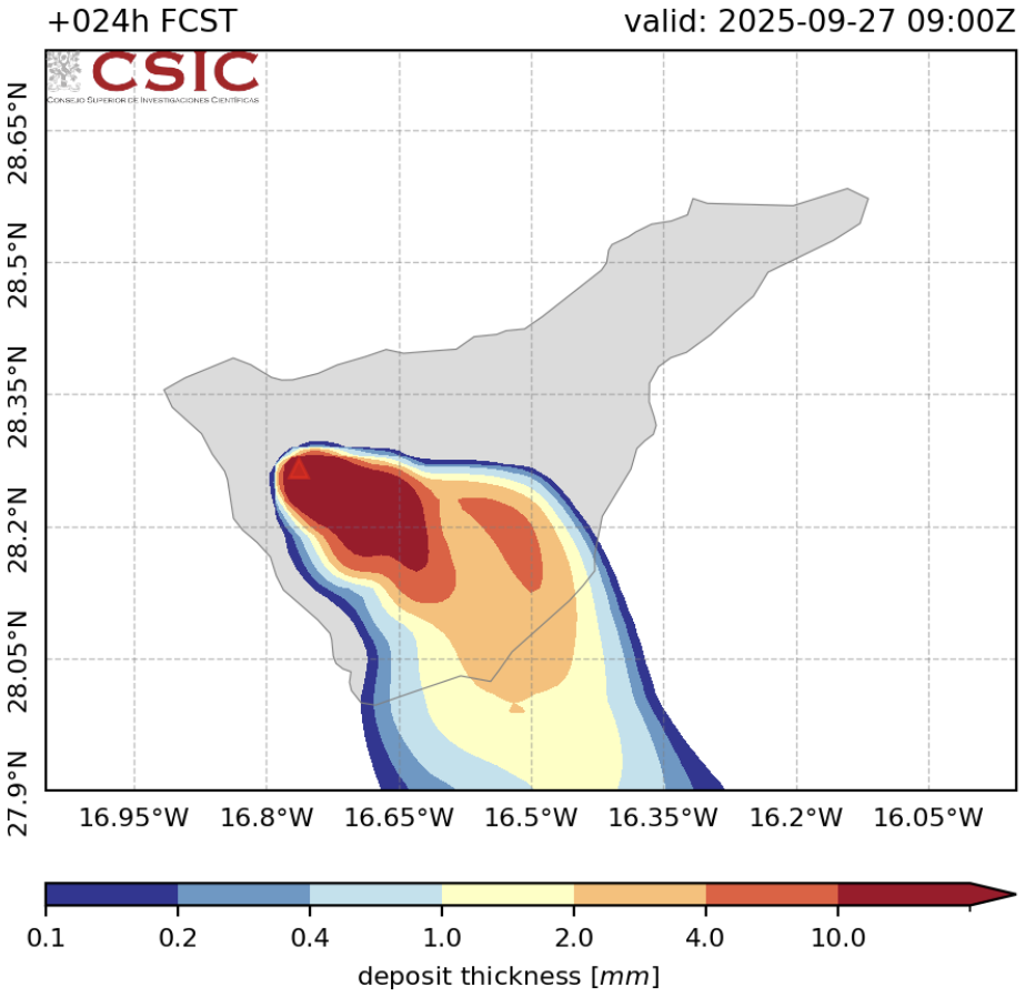
Ash deposition map.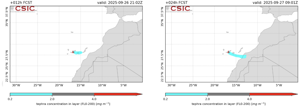
Concentration maps for flight levels FL000–FL200 at two time steps, showing low, medium, and high ash concentration levels.How ChEESE’s work fit into the bigger picture
During the drill, ChEESE’s work supported decision-making with scientific modelling and analysis using the FALL3D code. The model outputs, including ash deposition and concentration maps, showed a plume primarily directed towards the south and southeast of Tenerife, with low-concentration ash reaching eastward toward the African coast within 24 hours.
Timely forecasts
In response to VONA alerts, ChEESE produced ash dispersion maps and georeferenced data (GeoTIFFs) in ~30 minutes, delivering them to the IGME-CSIC and other stakeholders.
Support to aviation and authorities
These forecasts help define no-fly zones, analyze ash impact on populated areas, and guide resource allocation.
Integration with emergency protocols
While field teams evacuated neighborhoods and secured infrastructure, ChEESE’s output offered critical “where will the ash go?” insight, enhancing the situational awareness of the incident command system.
Validation in realistic stress test
Because the simulated eruption shifted from Garachico to the Teide coordinates during the exercise, ChEESE’s team had to adjust quickly — mimicking real-world uncertainty and testing the resilience of the modeling workflow.
The exercise also underscored the value of establishing dedicated communication protocols and priority access to supercomputing resources for future real-time forecasting services, ensuring faster and more reliable data exchange between scientific teams and emergency authorities.
About FALL3D
FALL3D is an open-source numerical model designed to simulate the transport and deposition of volcanic ash and particles in the atmosphere. The code reproduces how volcanic plumes evolve, disperse, and settle over time, depending on factors such as wind, eruption strength, and particle size.
Developed and maintained over more than 20 years of research, FALL3D is used operationally by several international institutions, including the Volcanic Ash Advisory Centres (VAACs) of Buenos Aires and Darwin, and the Italian National Institute of Geophysics and Volcanology (INGV).
The exercise showcased how scientific modelling and supercomputing can deliver rapid, actionable information during volcanic emergencies, supporting aviation safety and helping authorities anticipate the potential impacts of ash fallout. In total, more than 2,000 people took part in the exercise, including members of the Local Police, National Police, Civil Guard, Army, Fire Services, and various professional associations.Running on high-performance computing systems, FALL3D can deliver accurate ash-dispersion forecasts within minutes — a crucial capability during volcanic crises, when aviation safety and emergency response depend on rapid and reliable predictions, as demonstrated in this Tenerife exercise.
You can find more information about FALL3D in the Codes section.
Credits
- Published
- 11 October 2025
- Modified
- 13 October 2025
- Author
- Varvara Vedia — ChEESE-2P Dissemination Team
- Photos
- CSIC Communication Team
- Maps
- Leonardo Mingari / FALL3D Team (GEO3BCN-CSIC)