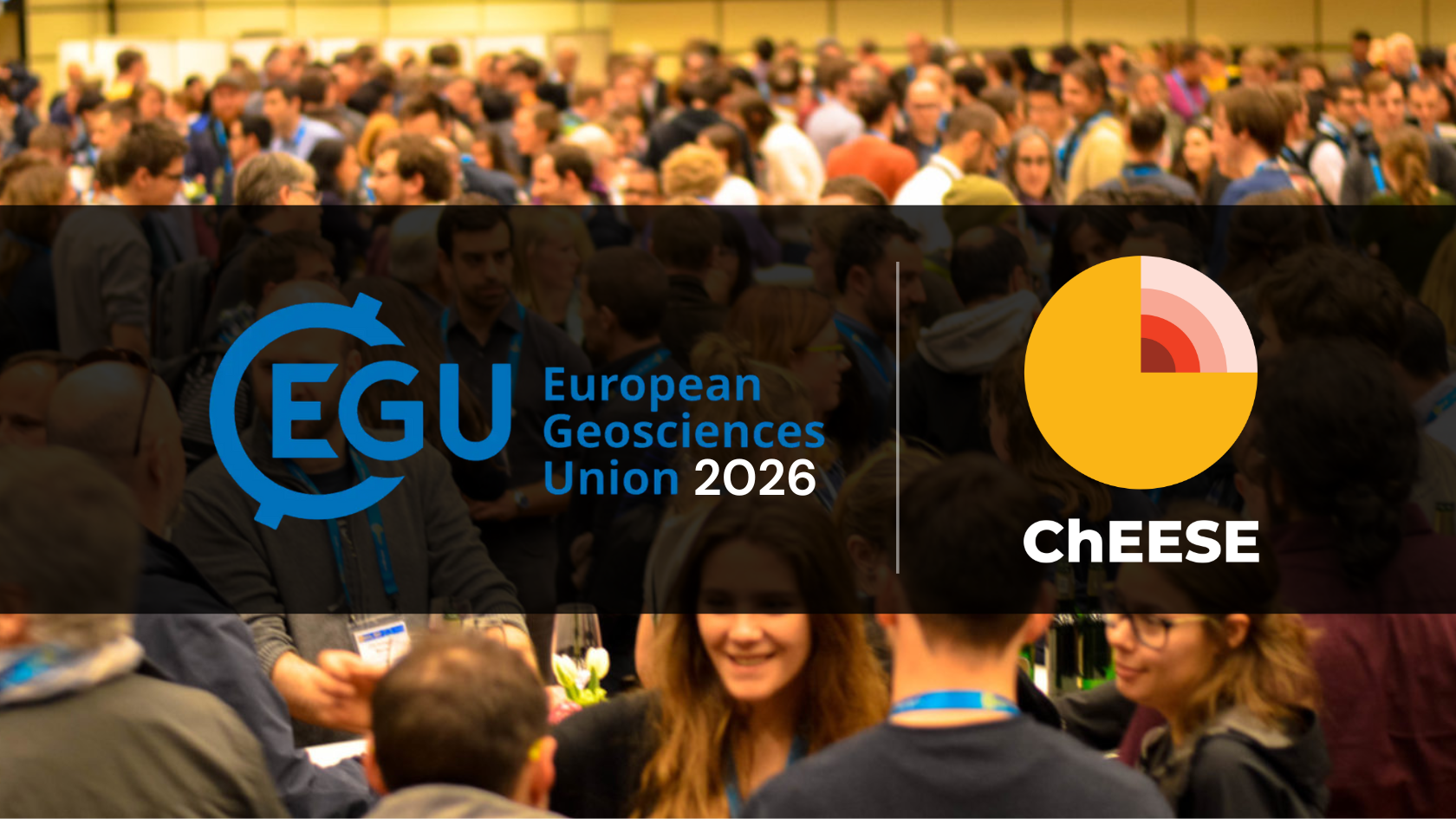
Researchers from the ChEESE Centre of Excellence (CoE) are leading four sessions at the EGU 2026 (3–8 May, Vienna & online), a unique opportunity to present your work, network across disciplines, and contribute to advances in geohazards, HPC, digital twins and Earth-system modelling.
Abstract submission is open until 15 January 2026 at 13:00 CET.
At a glance
| Session | Focus | Conveners | Link |
|---|---|---|---|
|
ITS1.3/NH13.17 AI- & HPC-Driven Advances for Time-Critical Hazard Modelling |
Role of scalable, adaptive and AI-enhanced computing approaches in supporting the entire hazard-management cycle: from early detection and warning to modelling, impact forecasting and decision support. | Nishtha Srivastava; Marisol Monterrubio-Velasco; Arnau Folch; Jorge Macías; Yogesh Kumar Singh | Session 57536 |
|
NH6.8 Accelerating Early Response to Natural Hazards from Space |
EO satellite swarms, geostationary SAR, explainable AI & Digital Twins for rapid response | Panagiotis Elias; Salvatore Stramondo; Arnau Folch; Claudia Corradino | Session 56652 |
|
ESSI2.2 High-Performance Computation in the Geosciences |
HPC, parallel I/O, data formats (HDF5/netCDF/Zarr), containerisation & workflow tools | Kor de Jong; Davide Consoli; Daniel Caviedes-Voulliéme; Arnau Folch; Corentin Carton de Wiart | Session 57187 |
|
NH5.1 Tsunami Science – Advances in Modelling, Hazard Assessment & Warning |
Multidisciplinary session focusing on tsunami generation (earthquake, landslide, volcanic, atmospheric), modelling, hazard and risk assessment, early warning, societal & operational aspects. | Jadranka Šepić; Rachid Omira; Musavver Didem Cambaz; Fabrizio Romano; Hélène Hébert | Session 56980 |
1) ITS1.3/NH13.17 – AI- & HPC-Driven Advances for Time-Critical Natural Hazard Detection, Forecasting, Modeling, and Response
Abstract:
Recent advances in computational science and data-intensive methods are significantly improving our ability to detect, model, and respond to natural hazards in real/near-real time. From earthquakes, tsunamis and floods to wildfires, volcanic eruptions, and extreme weather events, the integration of high-performance computing, predictive modeling, and intelligent systems is enabling more effective and timely emergency response and operational frameworks and services. This session focuses on the role of scalable, adaptive and AI-enhanced computing approaches in supporting the entire hazard-management cycle: from early detection and warning to modelling, impact forecasting and decision support. We invite contributions exploring (but not limited to) innovative methods and real-world applications across the areas such as: (i) Early detection and rapid warning systems, leveraging sensor networks, remote sensing, and predictive analytics; (ii) Time-critical simulations and forecasting models; (iii) AI applications in natural hazard contexts, including real-time/near real-time earthquake signal analysis, landslide and wildfire risk mapping, flood extent detection, and uncertainty-aware forecasting using ML-based ensemble models; (iv) Operational platforms and decision-support tools, integrating real-time data streams with adaptive modelling; (v) Case studies demonstrating applications of such methods. This session aims to bring together researchers, practitioners, and system developers working at the intersection of geoscience and urgent computing to advance the state of natural hazard mitigation and civil protection.
Key themes:
- Early‐detection and rapid warning systems using sensor networks & remote sensing
- Time-critical forecasting simulations and AI‐enhanced modelling
- Operational platforms and decision-support integrating real-time data streams
Additional information:
- Conveners: Nishtha Srivastava; Marisol Monterrubio-Velasco; Arnau Folch; Jorge Macías; Yogesh Kumar Singh
- Link: Session 57536 on EGU26
2) NH6.8 – Accelerating Early Response to Natural Hazards from Space: Leveraging Digital Twins of the Earth
Abstract:
Multi-hazards — simultaneous or successive natural and anthropogenic events — cause escalating human, economic, and environmental losses, threatening societal resilience. In this context, near-real-time monitoring via satellite Earth Observation (EO) is critical for effective crisis management. Currently, low revisit rates and latency in data downlink, processing, analysis and delivery limit exploitable value during crises. To address these challenges, the emerging trend of deploying EO satellite swarms to reduce revisit times highlights the need to integrate advanced technological solutions. This session invites innovative approaches to optimise EO using satellite swarms and near-future microwave (SAR) geostationary satellites for rapid, dense, continuous data streams. Explainable AI accelerates human intervention and automates decision making for satellite tasking, acquisition, processing methodologies, product scalability and customisation for target groups. Additionally, quantum-centric computing, though not yet practical, holds promise for significantly reducing processing latency. Digital Twins of the Earth complement these advancements by enabling proactive risk assessment, scenario modelling, and optimised resource allocation, improving early response strategies. The session fosters collaboration among geoscientists, engineers and disaster managers, aiming to revolutionise multi-hazard resilience through an integrated, AI-enhanced space with dynamic, high-fidelity virtual models of the planet targeted at early response.
Key themes:
- Satellite‐swarm Earth Observation & reduced revisit times for hazard monitoring
- Digital Twin frameworks for multi-hazard modelling and early response
- Explainable AI and automation in satellite/processing decision workflows
Additional information:
- Conveners: Panagiotis Elias; Salvatore Stramondo; Arnau Folch; Claudia Corradino
- Link: Session 56652 on EGU26
3) ESSI2.2 – High-performance computation in the geosciences
Abstract:
Spatio-temporal datasets are constantly growing in size, due to increases in extent and resolution. Because of this, existing software to read, store and write datasets, and translate the data may not be able to perform the work in a timely manner anymore. This limits the potential of numerical simulation models and machine learning models, for example. In this session we bring together researchers working on novel software for processing large spatio-temporal datasets. By presenting their work we aim to further strengthen the field of high-performance computation in the geosciences. We invite everybody recognising the problem and working on ways to solve it to submit an abstract to this session. Possible topics include (but are not limited to): high‐performance computing, parallel computing, distributed computing, cloud computing, asynchronous computing, accelerated computing, green computing; algorithms, libraries, frameworks; parallel I/O, data models, data formats, data compression, data cubes, HDF5, netCDF, Zarr, COG; containerisation, Docker, Kubernetes, Singularity, Apptainer; physically based modelling, physics-informed machine learning, surrogate modelling; model coupling, model workflow management; large-scale hydrology, remote sensing, climate modelling; lessons learned from case-studies.
Key themes:
- High‐performance, distributed & accelerated computing in geosciences
- Parallel I/O, data models & formats (HDF5, netCDF, Zarr, COG)
- Containerisation, model coupling, workflows & large-scale case studies
Additional information:
- Conveners: Kor de Jong; Davide Consoli; Daniel Caviedes-Voullième; Arnau Folch; Corentin Carton de Wiart
- Link: Session 57187 on EGU26
4) ESSI2.2 – High-performance computation in the geosciences
Abstract:
Tsunamis can be generated by a variety of mechanisms, like earthquakes, landslides, volcanic activity and atmospheric disturbances. They can cause widespread damage and fatalities in coastal areas, highlighting the urgent need to advance tsunami science towards implementing effective disaster risk reduction measures and developing early warning systems (EWS). In the past 20 years, tsunami science has advanced significantly, branching into new areas. The effectiveness of these efforts was proven, for example, during the tsunami that followed the great Mw8.8 Kamchatka earthquake in July 2025, when timely alerts were issued and likely helped save lives. Nonetheless, other non-seismic events like the 2022 Hunga Tonga tsunami have highlighted persistent challenges in understanding and responding to tsunami hazards. These situations have raised important questions about risk assessment, modeling, and EWS, emphasizing the need for stronger collaboration between scientific and operational communities.
The range of topics currently addressed by the tsunami scientific community includes:
- Analytical and numerical modelling of tsunami generation, propagation and inundation from various triggering mechanisms, including single or multi-causative sources (from large subduction to more local earthquakes generated in tectonically complex environments, from subaerial/submarine landslides to volcanic eruptions and atmospheric disturbances)
- Deterministic and probabilistic tsunami hazard, vulnerability, and risk assessments, including a multi-hazard perspective
- Forecasting tsunamis using emerging technologies, such as AI
- EWS, emphasizing innovative marine and seafloor observation methods, sensors and data processing techniques to improve the early characterization of tsunami sources and detection
- Societal and economic impacts of tsunami events on coastal communities
- Hazards perceptions, communication, engagement
- Present and future challenges related to global climate change (e.g. the impact of sea level rise)
- The session aims to deepen understanding of tsunamis and improve the ability to build safer, more resilient communities. It welcomes contributions on observation data, real-time networks, modeling, risk assessments, and tools for effective warnings. Submissions on recent events, like the 2025 Kamchatka tsunami, are especially encouraged as they are expected to provide valuable insights for advancing research and improving preparedness strategies.
Additional information:
- Conveners: Fabrizio Romano, Jadranka Sepic, Rachid Omira, Musavver Didem Cambaz, Hélène Hébert
- Link: Session NH5.1