Anthony Jourdon (LMU) presented “One-way linking of 3D long-term geodynamic models and short-term earthquake dynamic rupture models”. This research addresses the critical challenge of integrating long-term tectonic deformations with short-term earthquake dynamics to enhance the accuracy of seismic risk assessments.
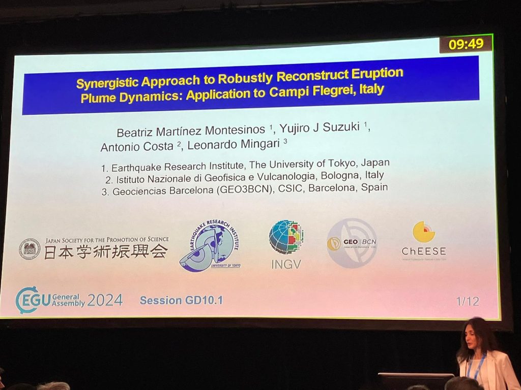
Beatriz Martinez Montesinos (INGV) presented the research on reconstructing volcanic eruption dynamics with “Synergistic Approach to Robustly Reconstruct Eruption Plume Dynamics: Application to Campi Flegrei, Italy”. Utilizing a combination of atmospheric dispersion models and eruption cloud dynamics models, alongside novel inversion methods, the study aims to enhance the accuracy of volcanic hazard assessments. This approach, demonstrated on the historical Campanian Ignimbrite super-eruption, integrates the latest computational tools to better predict and prepare for future volcanic events. This collaborative effort provides crucial insights into the dynamics of explosive eruptions, offering improved strategies for managing volcanic risks.
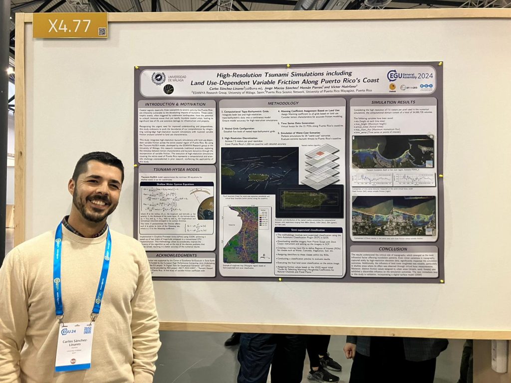
Carlos Sánchez Linares of the EDANYA group at the University of Málaga introduced his work on optimizing tsunami early warning systems in Spain. Collaborating with the National Geographic Institute of Spain and integrating projects like eFlows4HPC and ChEESE-2P, his presentation, “High-Resolution Tsunami Simulations including Land Use-Dependent Variable Friction Along Puerto Rico’s Coast,” showcased how machine learning can predict tsunami impacts swiftly and effectively, accommodating uncertain data and delivering vital results in seconds.
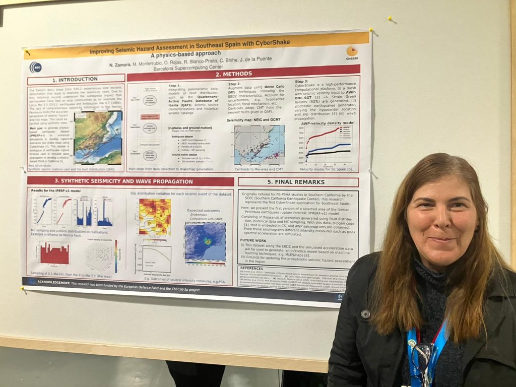
Natalia Zamora (BSC) presented the poster “Improving Seismic Hazard Assessment in Southeast Spain through CyberShake.” This study tackles the challenges in the Eastern Betic Shear Zone, where traditional data scarcity has hindered accurate seismic hazard mapping. By employing physics-based simulations and integrating diverse seismic data, the CyberShake model now provides enhanced shake maps, which can significantly aid in seismic risk planning and response strategies.
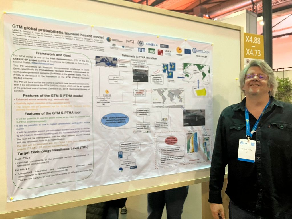
Stefano Lorito (INGV) discussed the updated global probabilistic tsunami hazard model (GTM) under the ChEESE-2P project. This model incorporates advanced source variability and offers high-resolution calculations essential for understanding tsunami impacts globally. His presentation outlined the significant computational efforts involved, highlighting the project’s use of extensive GPU resources for detailed global and local tsunami scenario modeling.
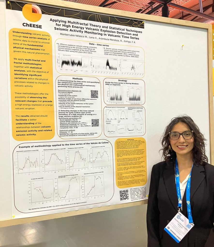
Marisol Monterrubio (BSC) explored the use of multifractal and fractal methodologies in her study “Applying Multifractal Theory and Statistical Techniques for High Energy Volcanic Explosion Detection and Seismic Activity Monitoring.” This research aims to detect significant changes in volcanic activity through advanced statistical analysis, offering a new approach to monitoring and potentially predicting high-energy volcanic events.
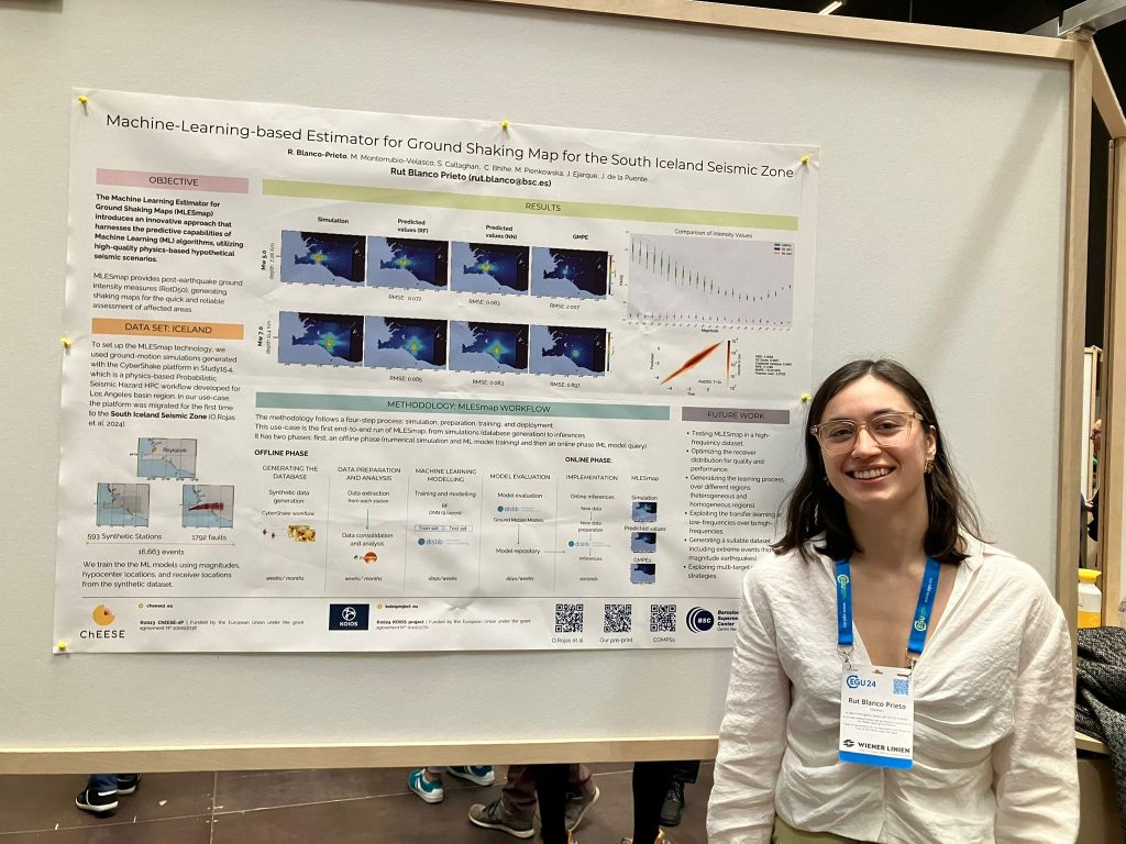
Rut Blanco (BSC) presented an innovative methodology for ground-shaking estimation called MLESmap in the poster “Machine-Learning-based Estimator for Ground Shaking Map for the South Iceland Seismic Zone”. This machine learning estimator assists in creating more accurate ground-shaking maps, crucial for disaster preparedness and mitigation strategies.
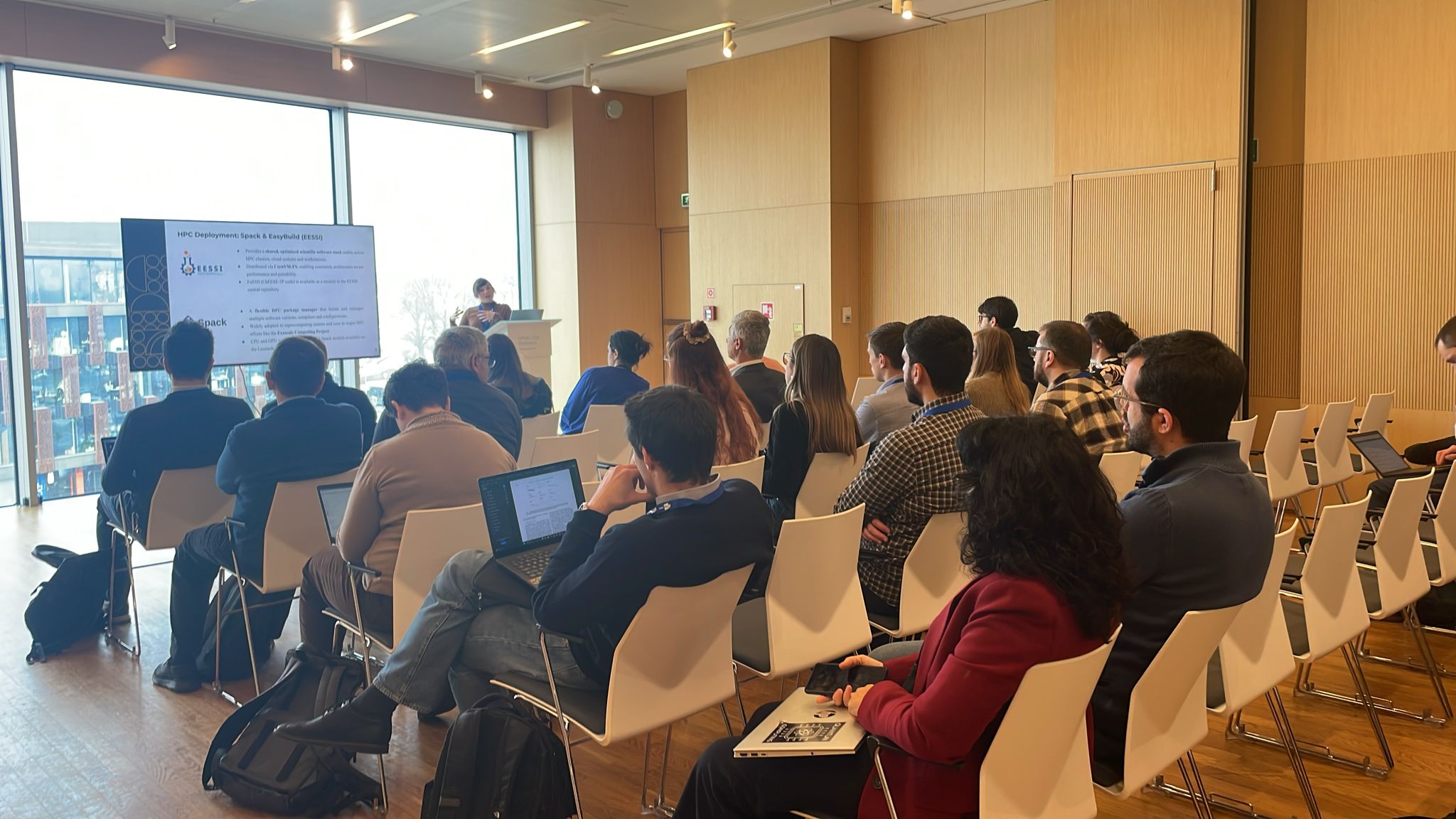
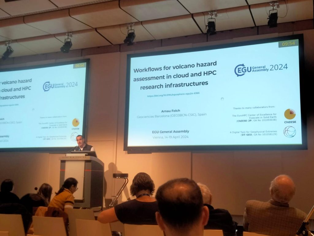
Arnau Folch (GEO3BCN – CSIC) presented on “Workflows for Volcano Hazard Assessment in Cloud and HPC Research Infrastructures,” emphasizing the integration of diverse data and computational models. His talk detailed the advanced software workflows that manage and automate these complex analyses, crucial for both short-term and long-term hazard assessments.
These presentations not only underline ChEESE CoE’s commitment to advancing geophysical and HPC research but also its role in fostering collaborations that bridge computational advancements with practical geohazard solutions.

