What if we could “see” what lies beneath our feet? With SPECFEM, we can.
SPECFEM is a powerful seismic wave simulation code used in ChEESE to better understand the Earth’s interior and assess seismic risk. It works by modelling how seismic waves travel through the Earth: from small-scale structures like nuclear power plants to global-scale earthquakes. A key tool for seismic imaging, risk assessment, and geophysical research.
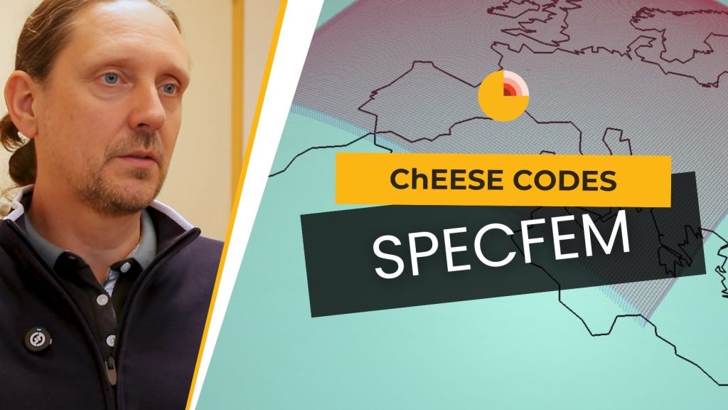
In our latest ChEESE Codes interview, we sat down with Vadim Monteiller, CNRS researcher and member of the SPECFEM development team, to learn more about the role of this code in the ChEESE project.
“We have the tool. This is ready, completely operational to do seismic imaging on real data,” Vadim explains.
Vadim and the SPECFEM team are responsible for improving and maintaining the code within ChEESE, as well as developing auxiliary tools that support seismic workflows like tomography.
“From my perspective, the most interesting thing to do in SPECFEM is for subsurface imaging,” he says. “We worked a long time to make this workflow, and now it’s ready to use.”
One of the unique features of SPECFEM is its versatility. It’s used across scales — from lab experiments to imaging the Earth’s mantle.
“It can be used from ultrasound and laboratory cases to global-scale earthquakes,” Vadim notes. “We can also use it to evaluate the condition of nuclear plants and decide whether to keep them in operation or not.”
From advancing seismic safety to unlocking the secrets of the Earth’s deep structure, SPECFEM is a cornerstone of ChEESE’s geohazard modelling toolbox.
Watch the full interview with Vadim Monteiller:
> Check out the SPECFEM page.
Published on April 17 2025.
By Varvara Vedia and Aerton Guimarães.
ChEESE-2P Dissemination Team